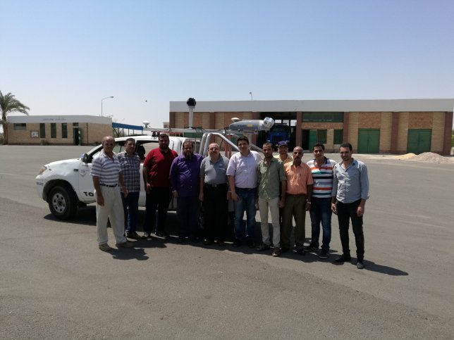
In the frame work of the ongoing project to establish the Regional Center for Geophysics in Suez Canal. For the First time in Egypt the newly Mobile Leaser Scanner is used to image Ahmed Hamdy Tunnel. The process of the scan was conduct in close cooperation with the Suez Canal Authority and with logistical support of the Armed forces. The preliminary results will be presented in the official opining if the center in Ismailiyah in 8 August 2016. The Team was led by Prof. Ashraf Moussa Professor of Geodesy and coordinated by Dr. Mohamed ElGabry operation Manger of Regional Center for Geophysics in Suez Canal. Mission team: Mohamed Ali, Abdelhamid Mohamed, Ahmed Saad, Ragab, Fawzy Ezzat, Selim Sayed. About Mobile Laser Scanner Is a vehicle-mounted spatial imaging system which combines high resolution laser scanning and precise positioning to collect geo-referenced point clouds for a wide range of requirements. The system contains a combined Trimble Applanix GNSS and inertial geo-referencing module for precise positioning. The system can be rapidly deployed onto on- and off-road vehicles of all sizes, and significantly reduces project field time and operator skill levels compared to traditional techniques. The MX2 is supplied with Trimble’s proven Trident software to rapidly extract and analyze the raw data to turn it into useful geospatial intelligence. The system scan Both side collecting 36.000 points/second and rotate 20 times/ second. The Ladybug panorama camera composed by 6 individual cameras (5 horizontal and 1 to the top) creates a 30 Mpx panorama picture each 5 m